
Automated unit views
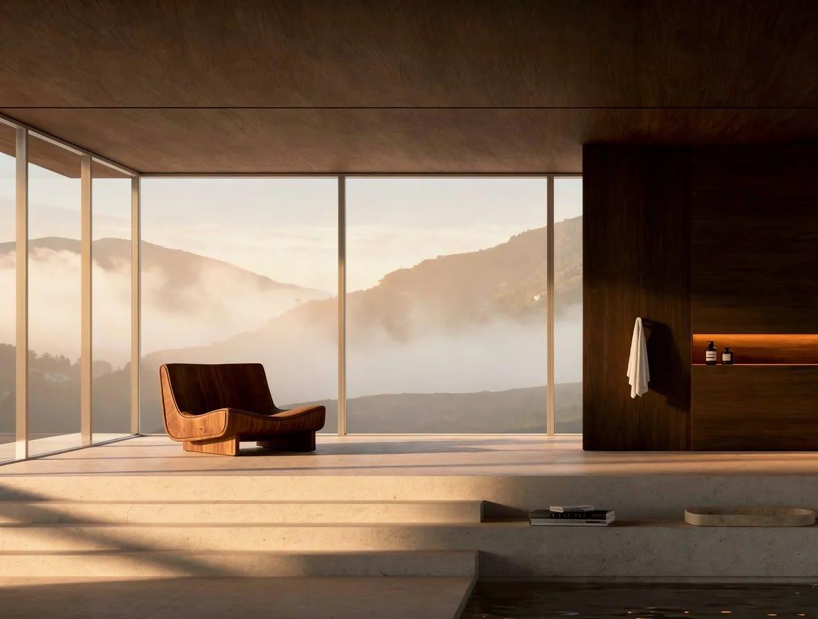
GIS data sets each unit's real view direction, floor height and surrounding buildings, and a model trained on daylight and seasonal landscaping renders unit views at scale.
Property sales visuals in days, not 2–4 weeks
- Customer
- Apartment developer
- Areas
- Visualization
- 1
Problem
Unit views are essential for property sales and marketing, but a full set took 2–4 weeks to produce, delaying sales schedules.
- 2
Input
Site layout, floor heights by unit and GIS data on surrounding terrain and buildings
- 3
How it works
For every unit, the system works out the actual view direction, height and surrounding buildings, then a custom model trained on daylight by time of day and seasonal landscaping generates the image.
- 4
Output
Tailored unit view images for each residence
Results
- Property sales visuals: 2–4 weeks → a few days
- Unit views generated at scale
- Built into the developer's property sales and marketing pipeline
Could this work on your projects?
Tell us about your challenges, and we'll explain how a similar approach could apply.
More case studies
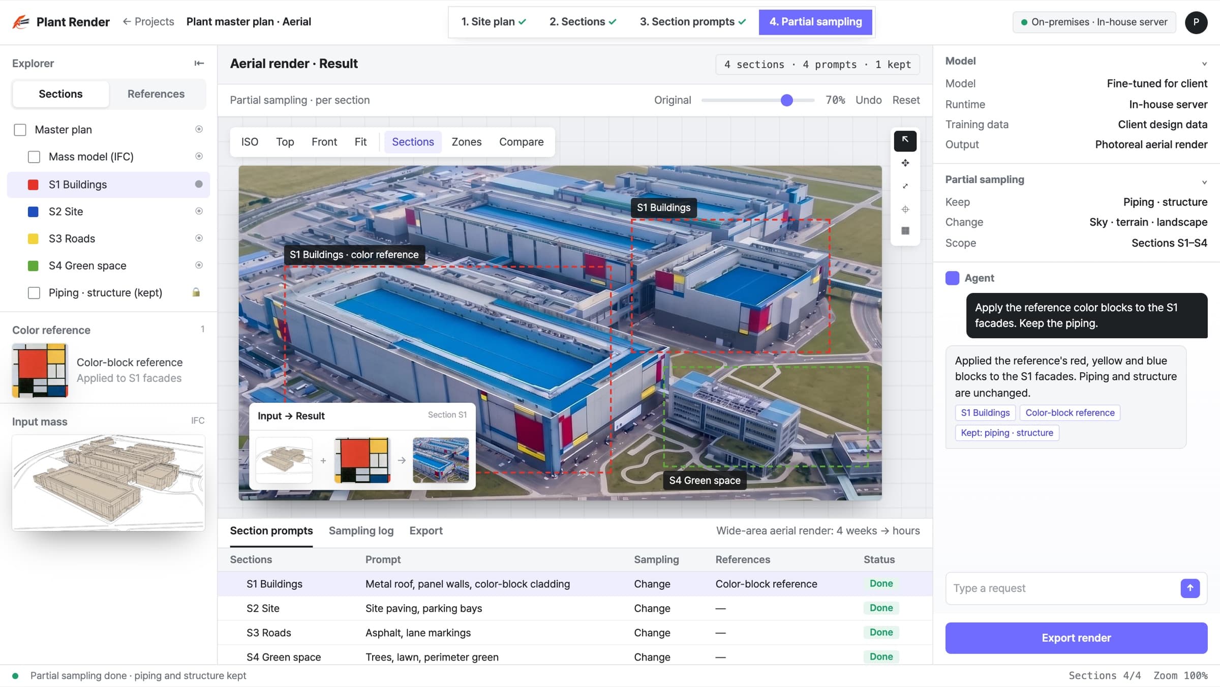

AI aerial rendering for industrial plants
Scattered design data, restructured so AI can use it. Fine-tuned models and section-level prompts run as a lightweight deployment on the client's own infrastructure.
Phase 1 built, now in maintenance and support
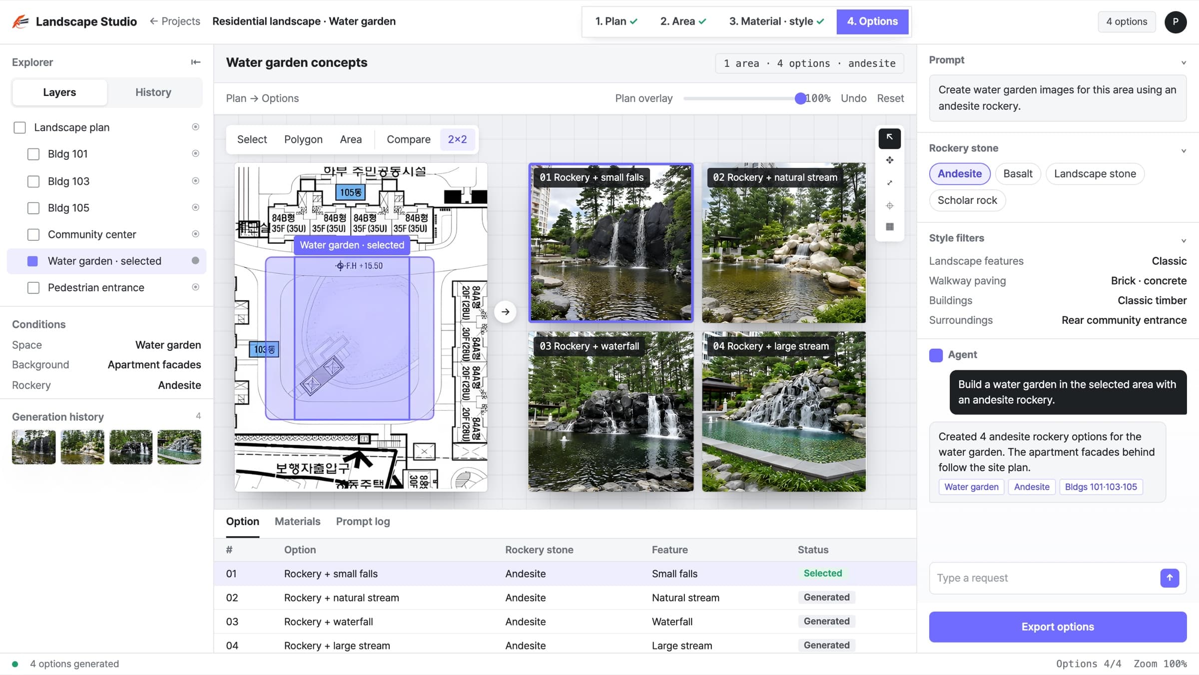

Landscape options from site plans
Select an area on an early landscape plan and describe what you want. A model trained on Korean residential landscapes generates the options.
4 landscape options per area, in one pass
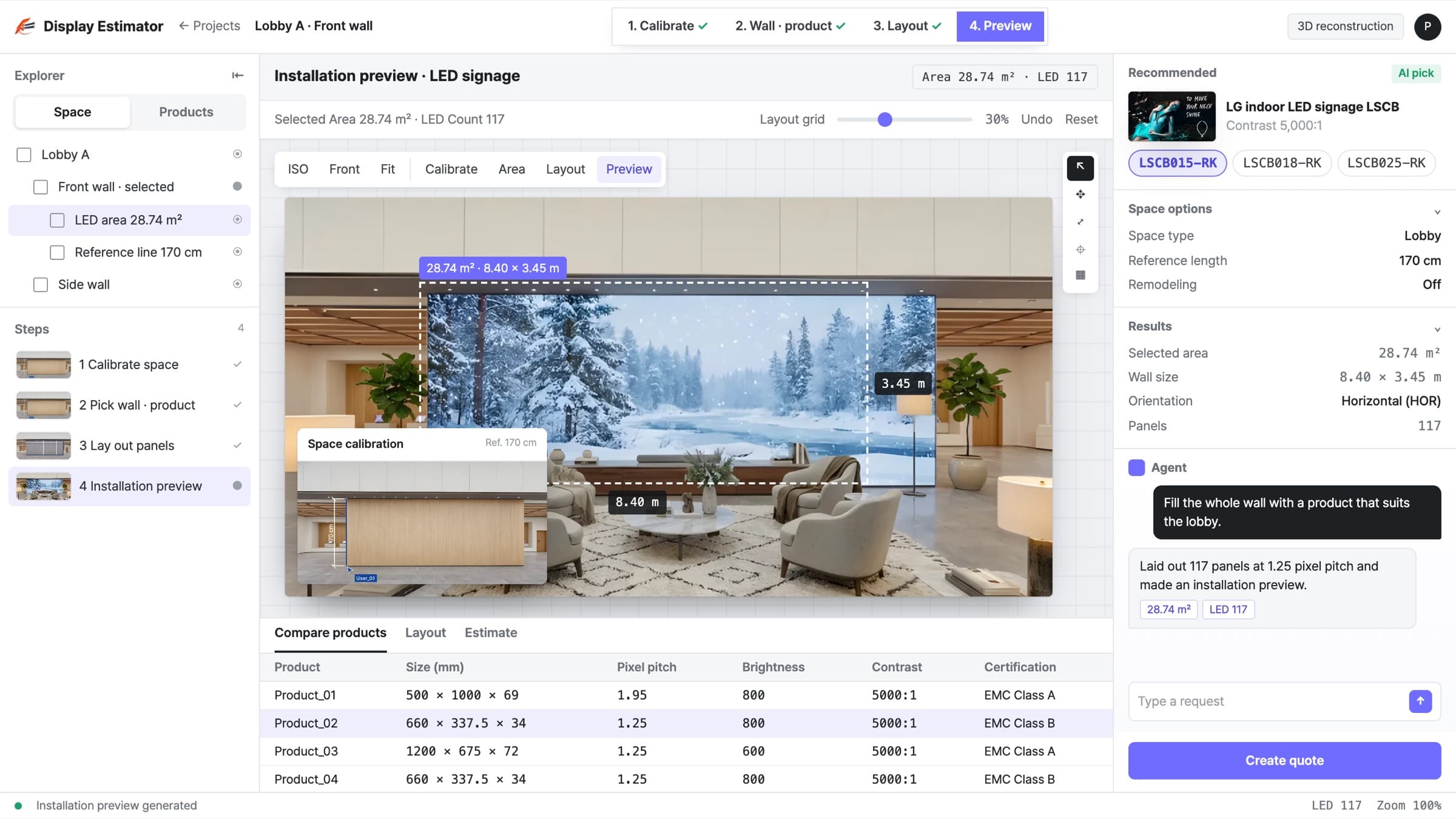

LED display quantity and cost estimation
Calculates wall area from a photo, recommends LED signage products and layout, then produces the estimate and an installation preview.
One photo to area, products, estimate and preview